

A violent thunderstorm which started just as the period of extra time in the World Cup Final came to an end, which was clinched by a single Iniesta goal for Spain (watched out-doors in a local piazza on a large screen on a balmy summers evening!), cleared the hazy visibility and humid atmosphere overnight for the second planned walk on this visit to the Lombardy region of Northern Italy.
La Dorsale Del Triangolo Lariano stretches out at an average height of 1,200 metres following the mountain ridge that crosses from south to north of the Lariano triangle area with Bellagio at the northern point.

Constructed in 1894, the 10 minute funicular ride from the lakeside climbed almost vertically three hundred metres on the initial stage of the walk, a satisfactory way to start the tough ascent that links Como with the village of Brunate at 715 metres. A Japanese tourist sitting opposite on the journey upwards asked in broken English whether it was possible to take photographs of the lake at the top!
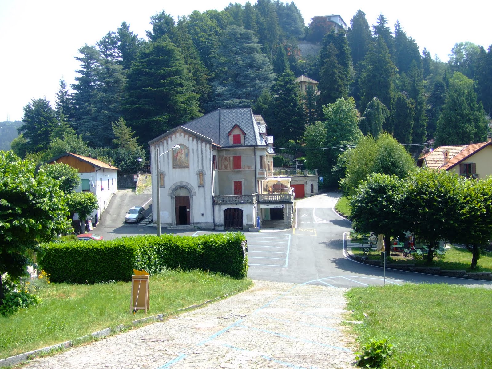
 Leaving the funicular station in Brunate the trail starts to the left of the church, where the climb to San Maurizio began on the cobbled path. The ascent was steep and continued until it reached the village of San Maurizio at 906 metres.
 A short de-tour was made to the Faro Voltiano (Volta Lighthouse) which was built in 1927 to celebrate the centenary of the death of Alessandro Volta, the eminent scientist who was born in Como, who invented the battery and after who the electric volt was named.

The views of the lake from the lighthouse were spectacular, including Cernobbio on the opposite shore of the lake where Lance Armstrong and the Motorola team were based a few years ago while training in the Lombardy region.

Returning to the village square of San Maurizio the path continues upwards into the woodlands towards Monte Bolletto. This particular section of the trail ends up at the side of the small church S. Rita on the square of Pizzale C.A.O. After walking across the village square the intersection to the left leads past Rifugio C.A.O. at 980 metres. The cart track continues through the woodland to reach Baita Carla at 997 metres where a very basic lunch was taken in the cool mountain shade.
Half a mile past Baita Carla the intention was to pick up Trail #15 down towards Torno, back at the lake side via Monte Piatto, but it soon became difficult to negotiate the overgrown conditions on this trail and it made sense to quickly turn back to the original route on Trail #1.

 This change of plan saw the walk continue along the original cart track on the slopes of Pizzo Temini where this gorgeous butterfly floated into view. Eventually reaching Biata Bondella at 1075 metres where I decided to terminate the walk and take the linear route back to Brunate.
The temperature in late afternoon when I returned to the village square was 30 degrees centigrade!


No comments:
Post a Comment