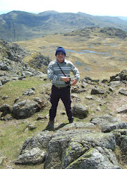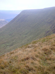
The decision to use public transport for this particular excursion was forced upon us by the crazy antics taking place at the local petrol forecourts. Following the Coalition Governments' totally inappropriate advice to ‘keep your petrol tanks topped up' and fill Jerry Cans because there MAY be a tanker delivery driver strike AFTER the Easter holidays!!
 TrawsCymru had recently won the tender to run the T4 Brecon service and Lord Twynyrodyn met Wandering promptly at 9:00am to catch the 9:20 departing to the Storey Arms. We were well impressed with the quality of the bus used on the route to Mid-Wales and a £6.20 Explorer ticket was purchased that would allow us to return from Brecon later in the afternoon.
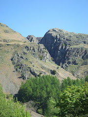
After Lord Twynyrodyn used his compass and string (yes, an extremely high tech piece of string was required) to plot the line of the route to Fan Frynych, we left the Storey Arms at 9:45am along the long diagonal path of the Beacons Way heading towards the distinctive Craig Cerrig-Gleisiad (See previous trip report here for photographs).

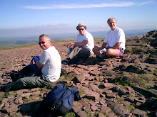
Although the sun was shining in a clear blue sky it was still a bit nippy at 1,800 feet. The long spell of dry weather guaranteed mud free path’s as the route gained height quickly, without any really hard work, until we could gaze down onto the A470 and the sumptuous views down the valley leading to Brecon.

The vistas created by Pen-Y-Fan, which was to remain with us all day, Fan Ghyrich and Fan Brycheiniog in the Black Mountain were amazing in the clear mountain air.
Lord Twynyrodyn’s navigation skills were almost spot on as we approached the trig point at Fan Frynach.
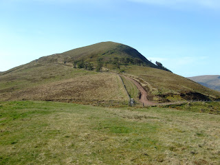
We left the Fan heading in a north easterly direction down Twyn Dulluan-ddu, towards Blaenclyn farm, crossing Daudraeth Illtyd Nature Reserve and our intermediate destination of the Mountain Centre, where we enjoyed a hot bowl of soup and a bread roll.

We needed to make an important decision about the remainder of the route, toying with a footpath alongside Mynydd Illtud that would take us to Llanspyddid, but instead headed for Tai’r Bull.
We passed this particular magnificent outward bound location that was owned by Hampshire County Council and must be worth near seven figures!


Contemplating the remainder of the route on a bench in Libanus the unilateral decision was taken by Lord Twynyrodyn to approach Brecon from the hamlet of Libanus Mill on some minor country roads.
We came across the remains of this Motte and Bailey site outside Cilwhybert and arrived at our destination at 3:00pm. Completing the 11 miles in just over 4 hours.

The refreshments provided by the Drovers Arms were well received, before we caught the 4:00 bus home.


